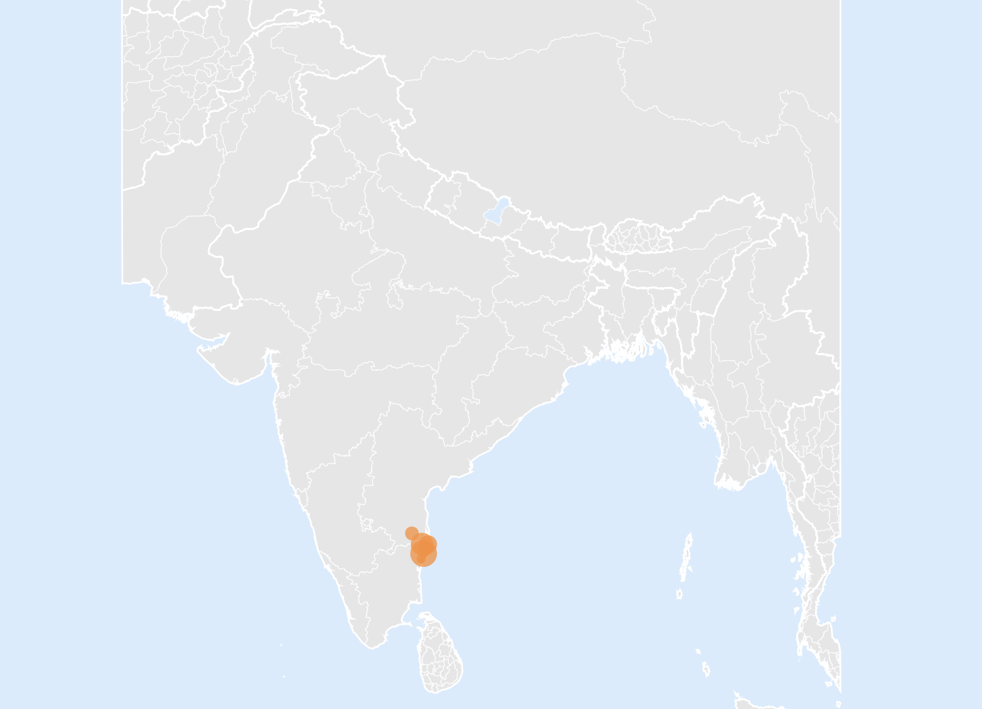
I tried using the latitude and longitude map, but it doesn’t let me zoom in on the state of Tamil Nadu the way I need in order to see the differences in the patient populations across each colony. I reviewed the support article here:
https://domo-support.domo.com/s/article/360043429213?language=en_US
.
The colonies are close together on the India map, and I was hoping to zoom in further, but this is as close as I can get (see attached picture). As I zoom, the colonies keep moving out of frame instead of staying centered. Could Maps be updated to allow deeper zooming and be centered on specific regions?